MARITIME EXPLORATION –
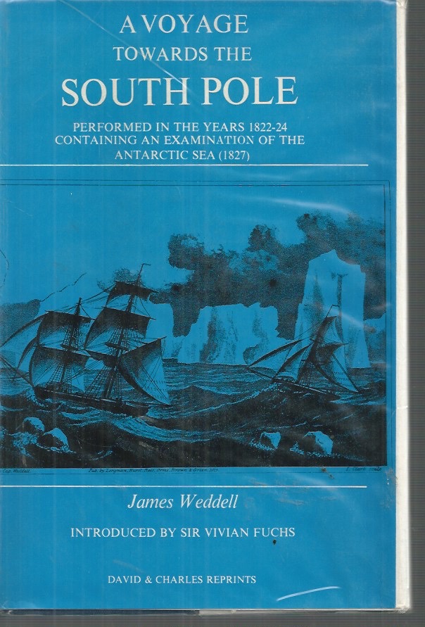
Facsimile Reprint of the 1827 Second Edition.
Account of British sealing expedition during which charts were made of South Orkney and South Shetland islands and furthest south achieved in Weddell Sea of 74°15′. Facsimile reprint of second edition published in London by Longman, Reese, Orme, Brown, and Green in 1827.
pp. 324 fold out maps #200126